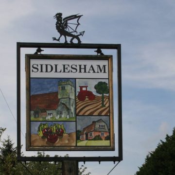

The Parish
Sidlesham is a large parish of 6.5 square miles lying to the south of Chichester on the eastern side of the Manhood Peninsula in West Sussex. The parish measures five miles north / south and three miles east / west. The southern border touches the coast west of Selsey; the eastern boundary is in Pagham Harbour. Sidlesham Common marks the northern extreme and Ferry Pool the south.
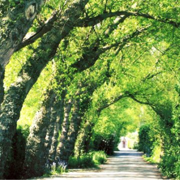
The whole parish is notable for the wide, very flat, low-lying land. It has a significant coastal fringe, with extensive farmland. There are some excellent views to Chichester Cathedral and the South Downs to the north, and to the Solent and the Isle of Wight to the southwest. It has a high level of sunshine, and relatively low rainfall.
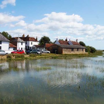
Sidlesham has an eclectic mixture of dwellings dating from the 17th to the 20th century. The majority of buildings are clustered closely together in the five hamlets of the parish; Sidlesham Church, Sidlesham Common, Highleigh, Ham and Sidlesham Quay. Exceptions to this are occasional buildings, oftenbarns and agricultural dwellings, built to serve the agricultural and horticultural industries. Some housing is situated along the winding main road that bisect the parish linking Chichester and Selsey, the B2145. Sidlesham does not have a Settlement Policy Area and no development is normally allowed except to replace an existing building.
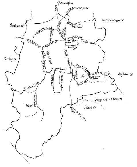
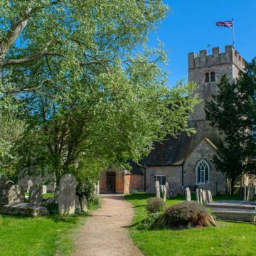
The parish has two Conservation Areas; Sidlesham Church around Church Lane and Sidlesham Quay along Mill Lane.
One third of Pagham Harbour is within the parish, it is Local Nature Reserve (LNR) now designated a Site of Special Scientific Interest (SSSI), a Special Protection Area (SPA) and a Ramsar Site (international designation of importance).